Hydrographic experience
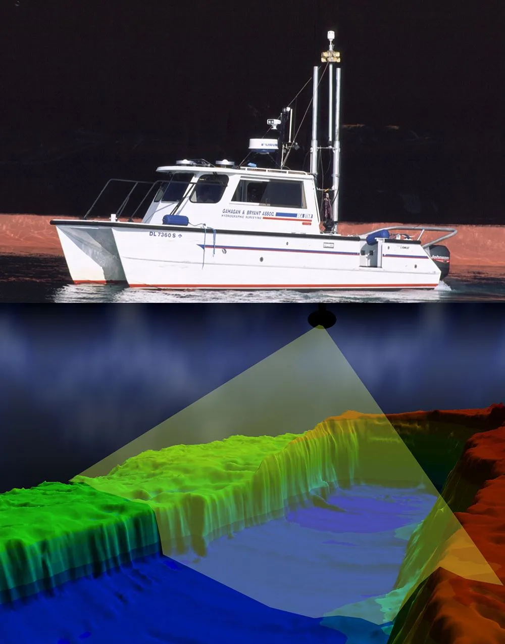
GBA is a pioneer in hydrographic surveying, with experience surveying for every major port in the United States. We provide hydrographic and topographic surveys for federal, state, and local agencies as well as private-industry clients.
Focused on navigation and coastal work
Our primary focus is port and offshore navigation-channel dredging, harbor and river surveys, and beach nourishment projects. As a member of the U.S. Army Corps of Engineers’ Industry Hydrographic Surveying Committee, GBA helped establish standards for dredging payment surveys in the United States.
GBA also provides surveys as design and construction-management tools for the U.S. Army Corps of Engineers, private dredging contractors, and many of the nation’s port authorities.
A credentialed survey team
Our survey team includes professional land surveyors, NSPS-THSOA certified hydrographers, and licensed UAV and drone pilots.